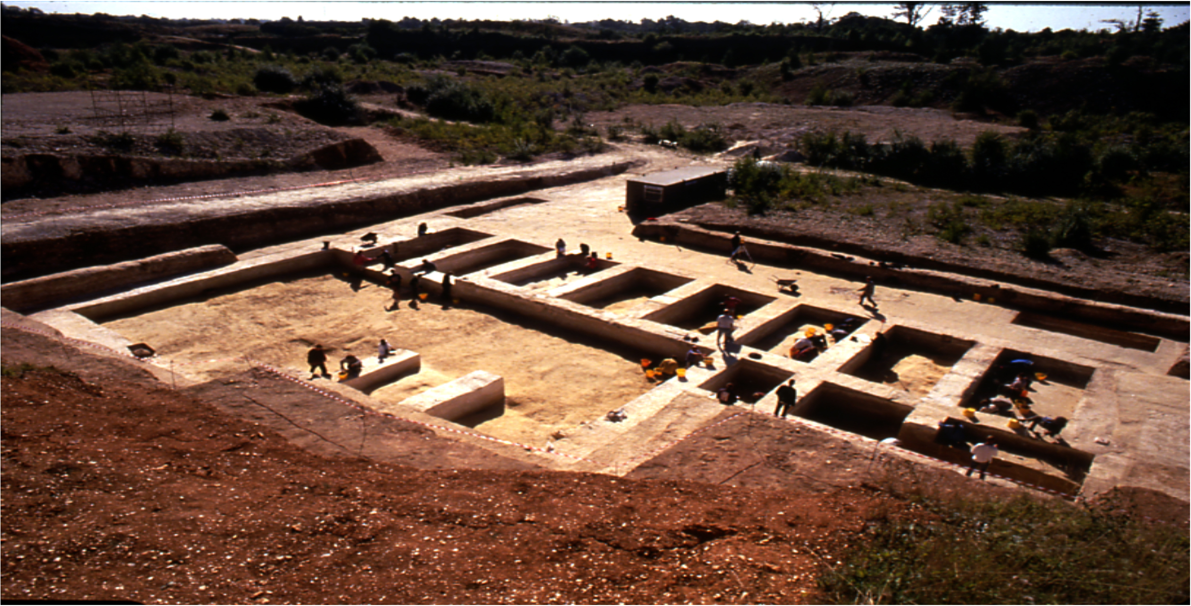
The site of Boxgrove is situated within a complex of sand and gravel quarries at the foot of South Downs, 7 km east of Chichester, West Sussex. Archaeological excavations over the past four decades have investigated extensive early middle Pleistocene landsurfaces, preserved at the foot of a buried sea cliff. Evidence of human activity occurs throughout the geological sequence, but Acheulian handaxes, flint-knapping waste, and butchered bones are particularly concentrated at discrete horizons within a lagoonal silt unit and the overlying palaeosol and associated freshwater deposits.
In 1993 a largely complete hominin left tibial diaphysis was recovered from colluvial sediments overlying the freshwater deposits in Quarry 1 (locality Q1/B). The freshwater beds have been dated to the latter part of an early middle Pleistocene interglacial using mammalian biostratigraphy. The colluvial sediments containing the tibia were probably deposited at the transition to the succeeding co... [read more]
|


