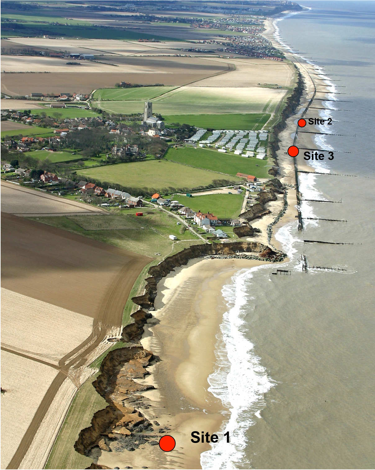
Happisburgh Site 3 was discovered in 2005 during a survey of a 2 km stretch of eroding coastal cliff between Happisburgh and Ostend (Parfitt et al. 2010). The cliffs are formed of glacial sediments of MIS 12 age. Beneath the glacial sediments lie a complex series of channels filled with fluvial gravels interdigitating with laminated silts and sands of estuarine origin, laid down by a large river. The lithology of the gravels suggests that the site lay on a course of the proto-Thames. The dating is based on reversed palaeomagetism, biostratigraphy and lithostratigraphy, which in combination indicate an Early Pleistocene age between c. 0. 78 and 1.0 Ma (Parfitt et al. 2010). The sediments contain a rich array of environmental data, including pollen, plant macros, foraminifera, ostracods, beetles, molluscs and vertebrate remains. The pollen sequence indicates a cooling climate with a regional vegetation change from deciduous woodland to conifer dominated forest. There are two cooling p... [read more]
|


